

By James Larson
Climate & Seasonal Rhythms
Inver Grove Heights sits in USDA Plant Hardiness Zone 5a, which means winters can drop well below zero Fahrenheit, and the growing season typically stretches from about April 21–30 through October 1–10. Average annual high and low temperatures hover around 55°F and 37°F respectively, with precipitation averaging about 34 inches per year. These patterns shape everything from what we grow in our gardens, to when snow falls, to how communities plan for outdoor life.
The Role of Frosts
Frosts naturally mark the bookends of growing season here. The last spring frost tends to occur in late April, and the first autumn frost in early October. These dates aren’t just trivia — they guide planting times, harvest plans, as well as when to cover or protect vulnerable plants. As climate shifts, those dates can drift, so it’s wise to watch local weather updates and be ready to adapt your gardening and landscaping accordingly.
Land, Water, and Geology
The land in Inver Grove Heights bears the legacy of glaciers — in moraine or “knob and kettle” terrain, outwash plains, and river bottom floodplains all contribute to what we see today. The knob and kettle areas often include small wetlands, ponds, and potholes. These features are not merely scenic; they play vital roles in stormwater holding and drainage management. Areas along steep riverbanks also need careful planning to prevent erosion and to protect water quality in nearby rivers.
Water Quality: Risks and Protections
Water matters deeply here — for drinking, recreation, and our ecosystems. Minnesota has made gains: many river and stream systems are seeing improvements in fish and insect populations, and levels of phosphorus and nitrates in some waterways are stabilizing or moving in a better direction. But challenges remain. Runoff from agriculture, urban hard surfaces, and even drain tile systems under cropland continue to be major sources of water degradation. Pollutants such as PFAS, heavy metals, and excess nutrients are among the persistent concerns.
What Can Be Done Locally
- Manage stormwater thoughtfully: Protecting or restoring wetlands, maintaining riparian buffer zones, and using green infrastructure (rain gardens, swales) can reduce harmful runoff.
- Test private wells and follow guidance: If you use a well, testing for nitrates, bacteria, arsenic, and other contaminants is important, and treatment options may be needed.
- Mind your yard practices: Reducing fertilizer and pesticide use, picking up pet waste, and minimizing salt during winter all help protect local water bodies.
Climate Change: What It Might Mean Here
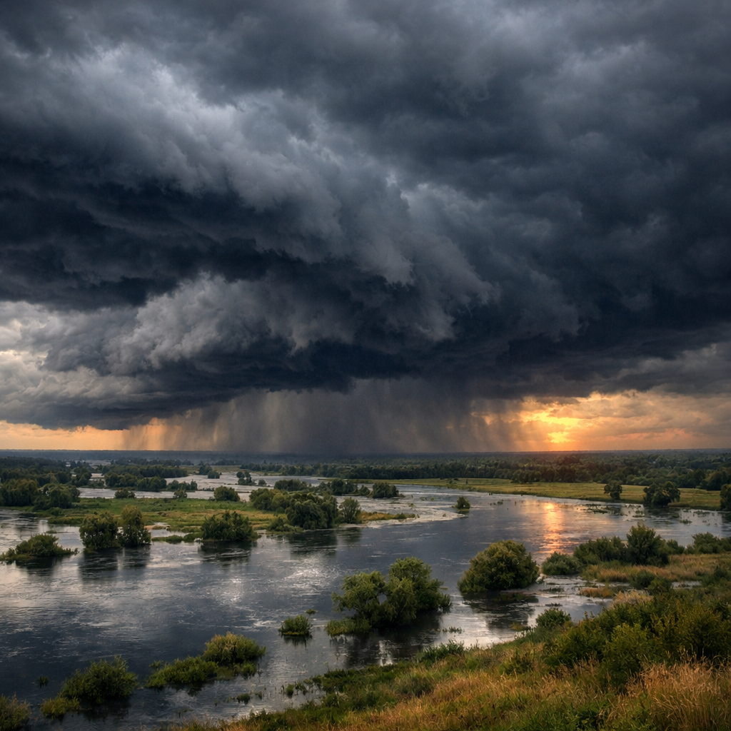
Our climate is shifting in ways that make weather more extreme and less predictable. We’re seeing trends toward heavier precipitation events, shifts in snow-to-rain balance, rising water and soil temperatures, and those frost dates creeping earlier or later. These changes can stress native plant species, affect vulnerable wildlife, and put pressure on infrastructure.
Community Resilience
Facing these changes together is key. Local planning — for development, land use, and water management — must consider the landscape’s natural draining patterns, stabilize banks, protect floodplains, and ensure that future growth doesn’t worsen runoff. Awareness and action at the household level—from planting native vegetation to conserving water—can make a difference for all of us here in Inver Grove Heights.
Weather and environment are ever-present forces in our lives — paying attention, planning ahead, and caring for the land really pays off. Let’s steward our past, present, and future with intention.